Flattop Mountain Shuttle
In Anchorage, Alaska on 4th Ave between C & D

East Powerline Pass


If your knees can't handle hiking up and down Flattop, this very wide and flat trail is a pleasant way for non-hikers to experience Chugach State Park. East of the parking, for about 3-miles, there are numerous peaks on either side of the Powerline trail.
Powerline Trail looking east - Hike Anchorage, Alaska

Powerline trail looking east or going up. Bottom of Flattop's northern flank is on right.

View from Flattop's north flank - Hike Anchorage, Alaska

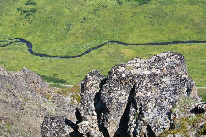
North fork of Campbell Creek meanders in the bottom of valley next to Powerline Trail. View from Flattop's north flank.


Beginning of Power Line Trail - Hike Anchorage, Alaska

Beginning of Power Line Trail.

Return Route 1 - Mountain Bike Route. Power Line & Gas Line trails

Length: 16 miles. Duration: 1 - 2 hours.

This route is steep, technical and for experienced riders only. Suspension Mountain Bike Required. The trail starts out wide because from the parking lot it also serves as a service road for the powerline. As you descend the trail becomes steep and narrow. Click here to view five pictures of the Gasline Trail. When descent ends, you're in Far North Bicentennial Park where there are many mountain bike trails and sometimes bears. (Before van departs for Flattop, ask to borrow free loaner bear spray.)

Video for the first 2/3 of the descent on the Powerline Trail. At the trailhead, driver will provide you with detailed maps and written directions. Click Here to see DBR's mountain bikes.